
Continuing the Vision
A 20 Year Check-In CharretteBy Eric Hoke, Design Director
10 min read + 12 min watch: In case you missed the Civic Design Center’s closing Urban Design Forum celebrating the 20th Anniversary year of The Plan of Nashville, we made a summary of what was discussed across all study areas and what concepts unify them. You can also watch our evergreen mini-documentary film about The Plan of Nashville’s history and impact.
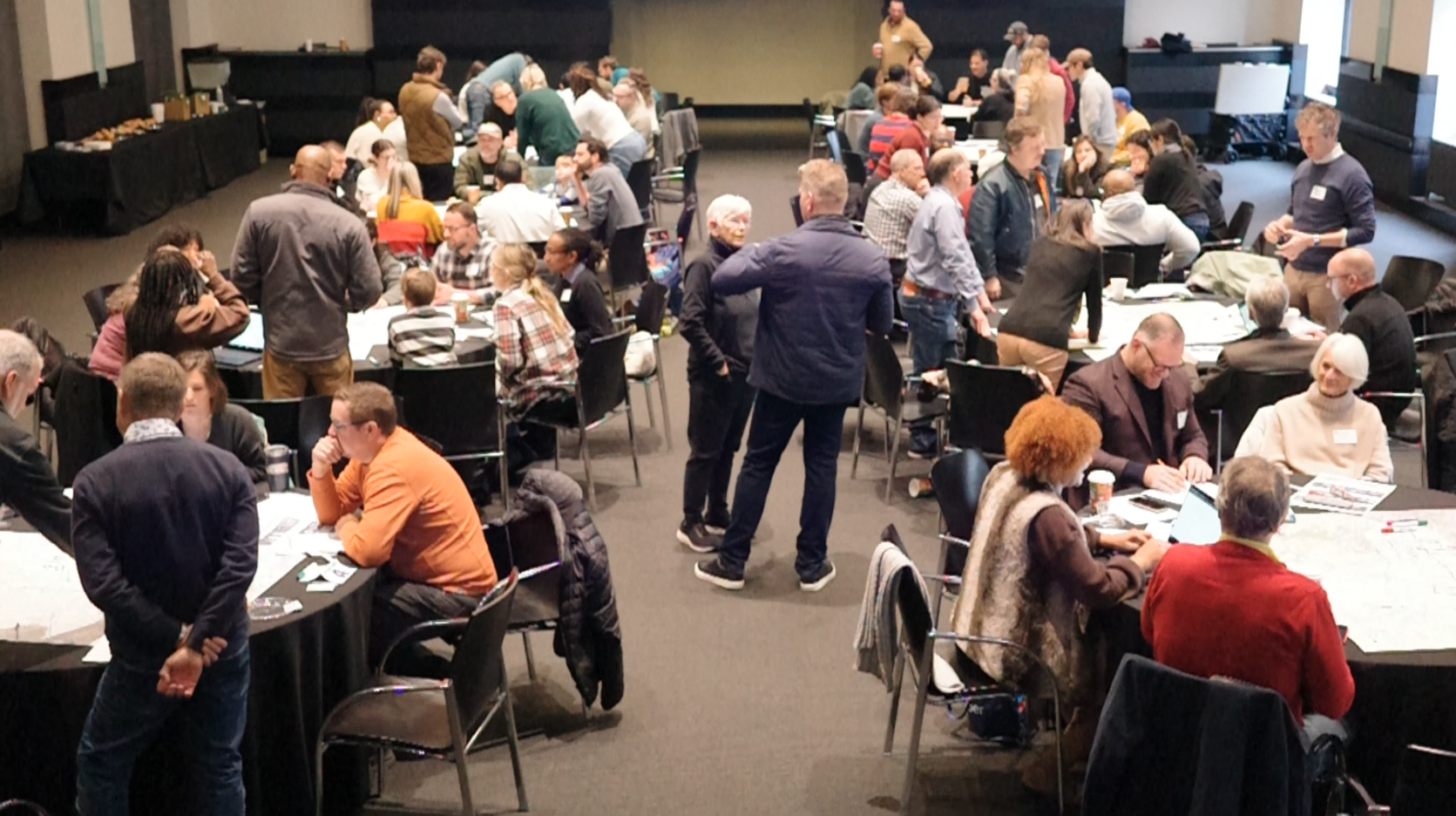
Photo of the Frist hosting ten tables of design charrettes based on the original Study Areas from the Plan of Nashville
"Continuing the Vision: A Design Charrette" was held on Saturday, December 6, 2025, at the Frist Art Museum to celebrate the 20th Anniversary of The Plan of Nashville and look ahead to fulfilling its 50-year vision. Attendees of all ages and design experience levels gathered around tables with maps and trace paper to contribute their ideas. At this event, the Design Center also debuted our Plan of Nashville Mini-Documentary: Connecting Vision to the Future.
The Charrette’s themes were drawn from the Guiding Principles of Civic Design. Participants worked in defined study areas, based on The Plan of Nashville, to map assets, pinpoint opportunities, and surface key challenges, then the groups distilled their findings to synthesize project missions for their study area's future. A unifying theme across all groups was connectivity, which profoundly speaks to Christine Kreyling’s opening quote in the mini-documentary, “For so long the ideas were to segregate land uses and segregate races and just divide things up into their own little pods. And no matter what was practically accomplished by The Plan, The Plan was all about connecting.”
The Charrette Results
Compilation map from the Charrette process. Drawn by Remi Lynch, Design Studio Manager
Study Area “A”: Northwest Nashville
Includes neighborhoods: Hope Gardens, Hadley, Washington, Fisk, Meharry, McKissack Park, Hadley Park, Clifton, The Nations
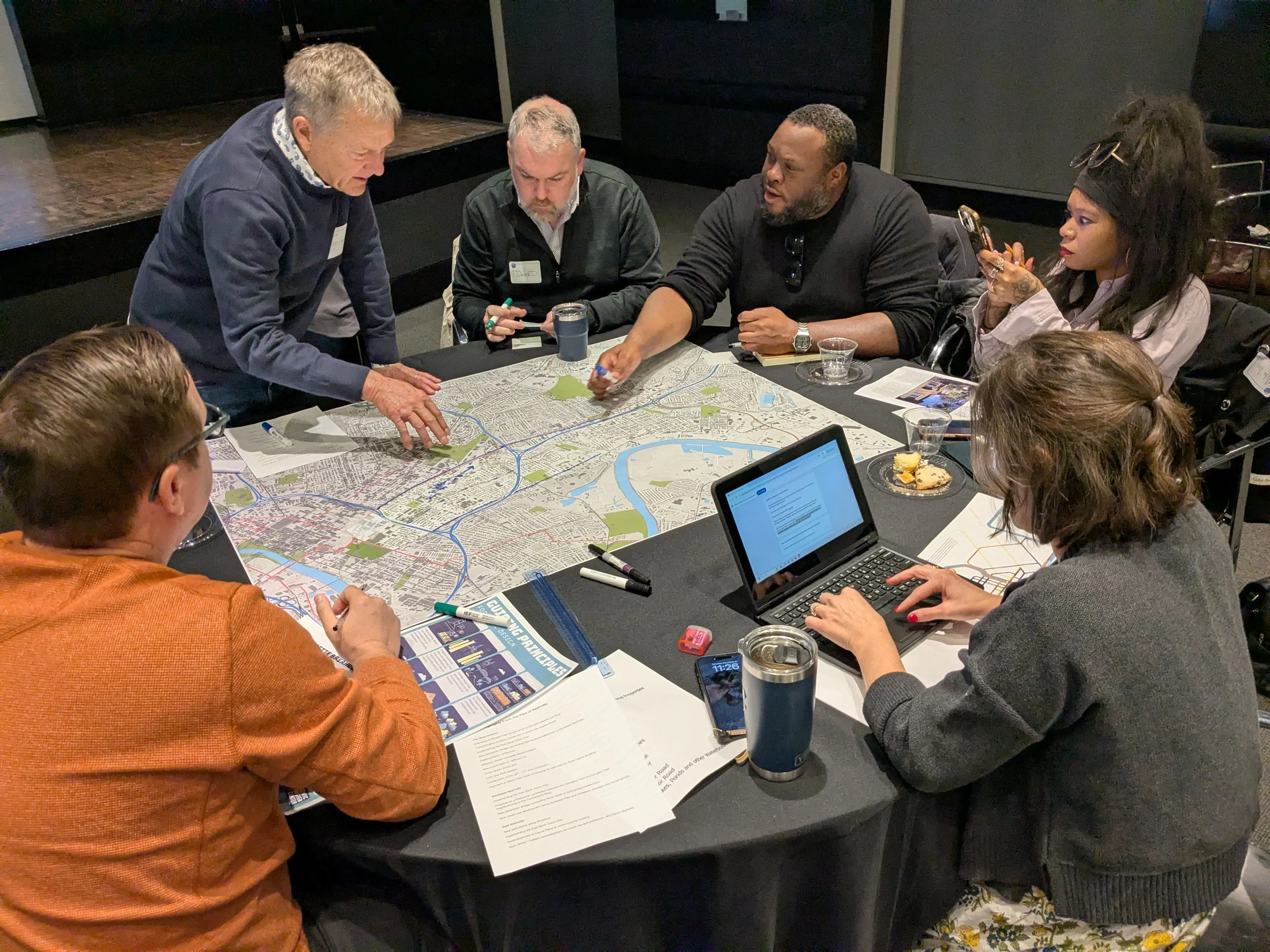
Table Leader: Mark Deutschmann (Core Development); Notetaker: Nicole Delger; Participants: Anton Jackson, Nita Ann, David Greider, Loren Wood
The Study Area “A” design charrette for Northwest Nashville revealed strong optimism about recent progress, particularly the lasting impact of earlier planning efforts such as the artist-centered Werthan Lofts, alongside recognition of significant growth around Jefferson Street and adjacent institutions. Participants consistently identified Jefferson Street as both the area’s greatest asset and its most pressing challenge as it is a historic corridor with untapped potential that remains divided by the interstate, confusing interchanges, and weak walkability, especially along key connectors like 28th Avenue and DB Todd Boulevard. Major opportunities center on leveraging existing and proposed greenways, including a potential continuous “greenway loop” or linear park better connecting TSU, Fisk, and Meharry, and surrounding neighborhoods, and addressing food access and aging-in-place needs. Long-term ideas emphasized bold infrastructure and land-use strategies, such as reimagining or decking the interstate, creating a “University Boulevard,” improving north–south connections, and aligning zoning with transportation to protect neighborhood character while enabling equitable reinvestment.
Collectively, the charrette articulated a clear mission: reconnect Northwest Nashville through greenways and streets, reinvigorate the Jefferson Street and Charlotte corridors, and advance connectivity, access, and neighborhood-serving amenities in a way that honors history and supports long-term community health and vitality. These ideas should be tied together with the big greenway project that is underway, the Greenways Rail and Trail from 28th, connected to the Farmer’s Market. The visionary work should build on this Rail and Trail project and focus on Fisk, Meharry, and Capital View areas for major developments.
Study Area “B”: North Nashville
Includes neighborhoods: Historic Buena Vista, Elizabeth Park, Buchanan Arts District, TSU, Osage, Cumberland Gardens, Bordeaux
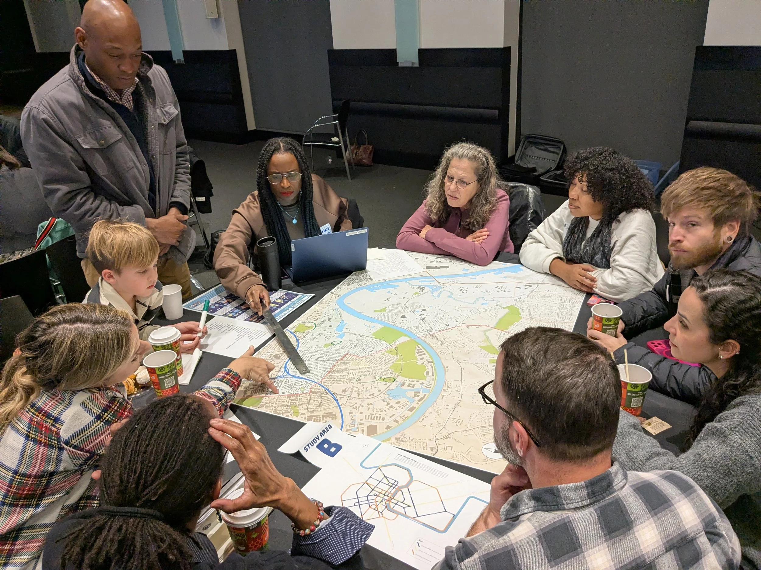
Table Leader: Tifinie Capehart; Participants: Judy Freudenthal, Kamilah Sanders, Josh Snodgrass, Fern Lee, Kevin Morrison, Phylis Hildreth, Kelly Bonadies, Chachi Wright, Phillip Simpson
The Study Area “B” design charrette for North Nashville highlighted steady progress over the past two decades, particularly through improved greenways, new playgrounds, and increased park access, while also identifying gaps in child-focused amenities and everyday neighborhood destinations. Participants pointed to strong assets and opportunities, including Jones Buena Vista School, Gateway to Heritage, and other art-centered spaces, underutilized land near Buchanan and Trinity, Metro Center investment momentum, and the potential for new pedestrian and river connections linking North Nashville to Bordeaux and the Nations. Connectivity emerged as a central theme, with emphasis on bike and walking routes from Metro Center to surrounding neighborhoods, improved access along Jefferson Street, river and boat connections, and bridges that overcome physical barriers. Key challenges include expanding tree canopy, preserving housing affordability, and thoughtfully increasing density near major intersections through intergenerational and mixed-use development.
The long-term vision calls for redeveloping public housing into mixed-income communities, transforming rail corridors into linear parks, improving neighborhood schools and Trinity Lane, and creating pedestrian-first infrastructure. Collectively, the charrette articulated a mission of reconnecting Bordeaux and North Nashville through creative, intergenerational “third spaces,” neighborhood-serving retail, and inclusive development that supports long-term community stability and vitality.
Study Area “C” : North Nashville
Includes neighborhoods such as: Germantown, Salemtown, Buena Vista Heights, Bordeaux, Hartman Park, Troppard Heights
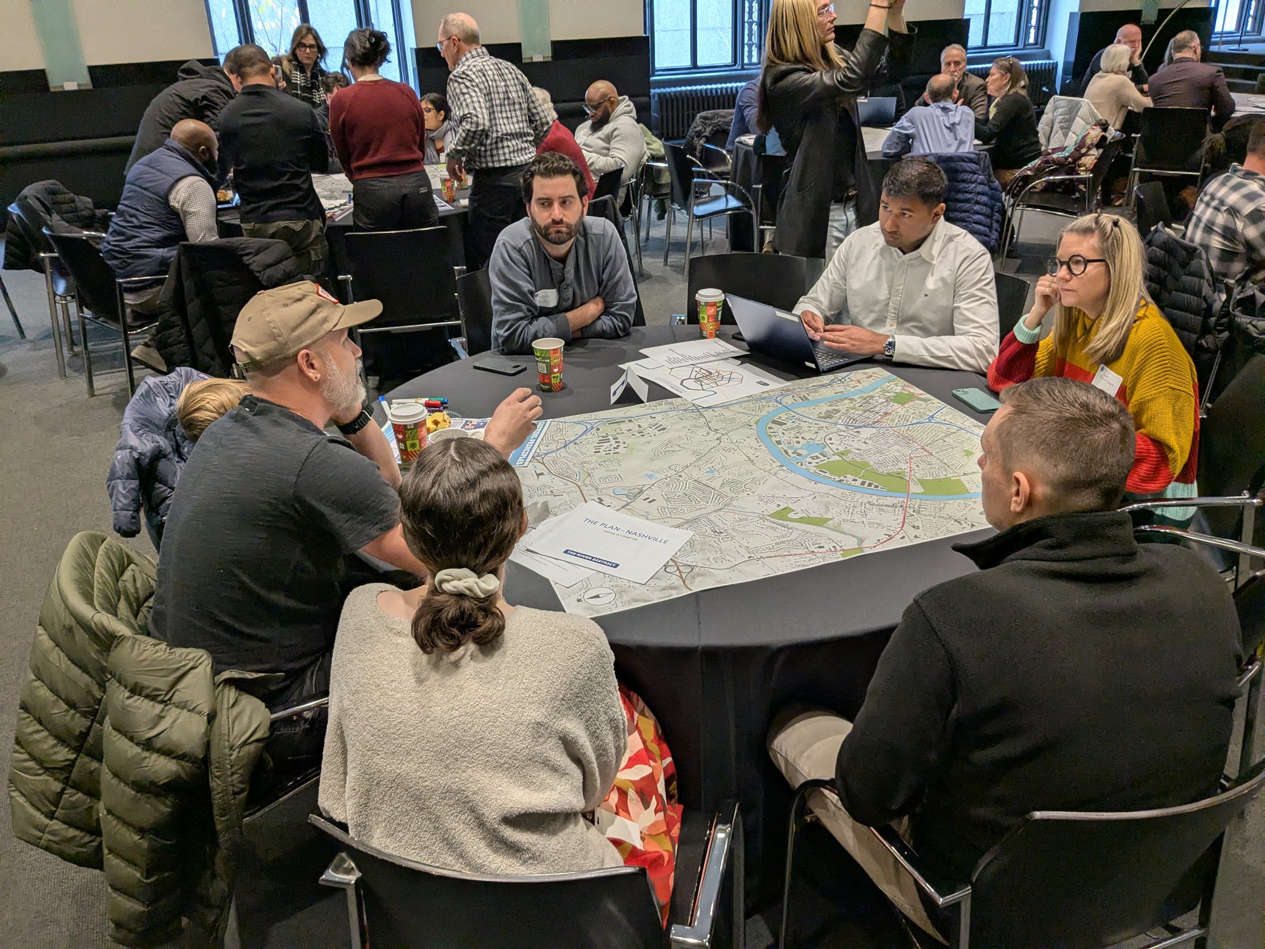
Table Leader: Julie Debow-Davis (EOA Architects); Notetaker: Avinash Palaparthy; Participants: Liam Clifton, Aaron Wright, Kevin Bolger, Rocko Wright, Kirsten Hahn
The Study Area “C” design charrette for North Nashville acknowledged both meaningful progress and ongoing harm, depending on the neighborhood. Historically Black neighborhoods have been shaped—and divided—by the interstate, which has negatively affected walkability, affordability, and long-term community stability despite the area remaining relatively walkable compared to much of the city. Participants identified significant assets, including Morgan Park, Ted Rhodes Park, Bicentennial Park, strong greenway networks, Buchanan Street’s Arts District, transit infrastructure, and emerging districts, like Neuhoff. The opportunities identified were centered around improving access to greenways, repurposing underused office and industrial spaces, enhancing pedestrian safety on bridges and major corridors, and strengthening local businesses.
Connectivity priorities focused on repairing neighborhood divisions caused by infrastructure, improving multimodal and bike connections along Rosa Parks and Buchanan, and linking greenways to downtown, the Gulch, TSU, and the Nations. Major issues to address include pedestrian safety, affordability, and zoning reforms that support mixed-use, mixed-income development. The long-term vision reinforces the validity of past ideas while calling for renewed advocacy, sustained community engagement, and clear communication to advance a holistic approach to community building that fosters safety, inclusivity, and a strong sense of belonging.
Study Area “D”: North East Nashville
Includes neighborhoods: Neuhoff, Metro Center, River North, Talbot's Corner, Haynes, Highland Heights, Trinity Hills, Skyline
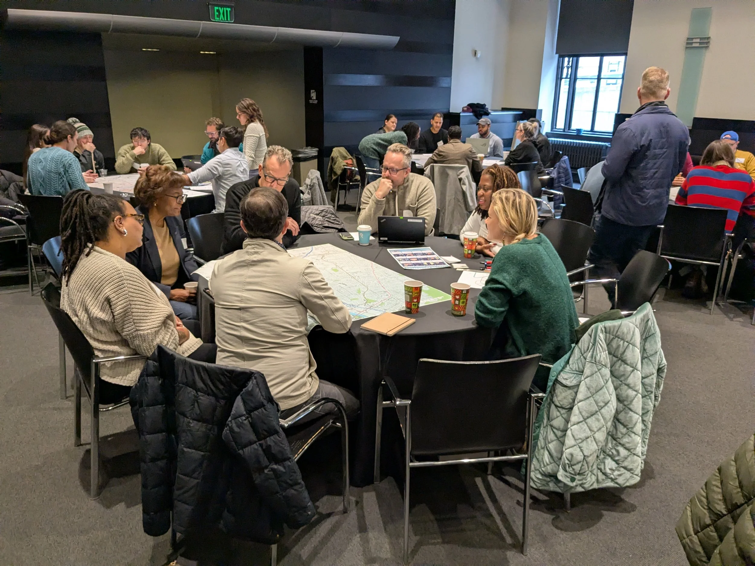
Table Leader: Nick Dryden (Dryden Studio); Notetaker: Chris Davis; Participants: David Powell, Lindsay Chadwell, Meg Morgan, Latonya Anderson, Debbie Frank
The Study Area “D” design charrette for Northeast Nashville highlighted growing momentum driven by successful recent investments in places like Neuhoff and River North, while recognizing that past efforts, such as Metrocenter, fell short due to the absence of residential density and a strong neighborhood foundation. Participants identified major assets and opportunities in the area’s large tracts of undeveloped land near the Cumberland River also on key corridors, such as Trinity Lane, Brick Church Pike, and Briley Parkway. They also emphasized opportunities to reduce car dependence by improving cross-river connectivity and access to daily amenities.
The group advanced a long-term vision centered on reimagining Baptist World Center Drive and Trinity Lane as commercial and community “zippers” that link new urban parks, preserves, and community centers to downtown via a new Cumberland River crossing. This vision calls for affordable and attainable housing, Rolling Mill Hill and Neuhoff-style mixed-use growth extending north along the river, and recreational and transit-oriented activation of the Cumberland River and Pages Branch, positioning Northeast Nashville as a connected, park-rich, and people-centered district supported by density, mobility choice, and strong community infrastructure. Big ideas included a Parks District connected to Nashville’s greenway system that uses the river as a mode of transit.
Study Area “E”: East Nashville
Includes neighborhoods: Sulphur Dell, East Bank, McFerrin Park, Maxwell Heights, Cleveland Park, Greenwood, Renraw, East Hill, Capitol View (East Side), Maplewood Heights, Gra-Mar Acres, Madison
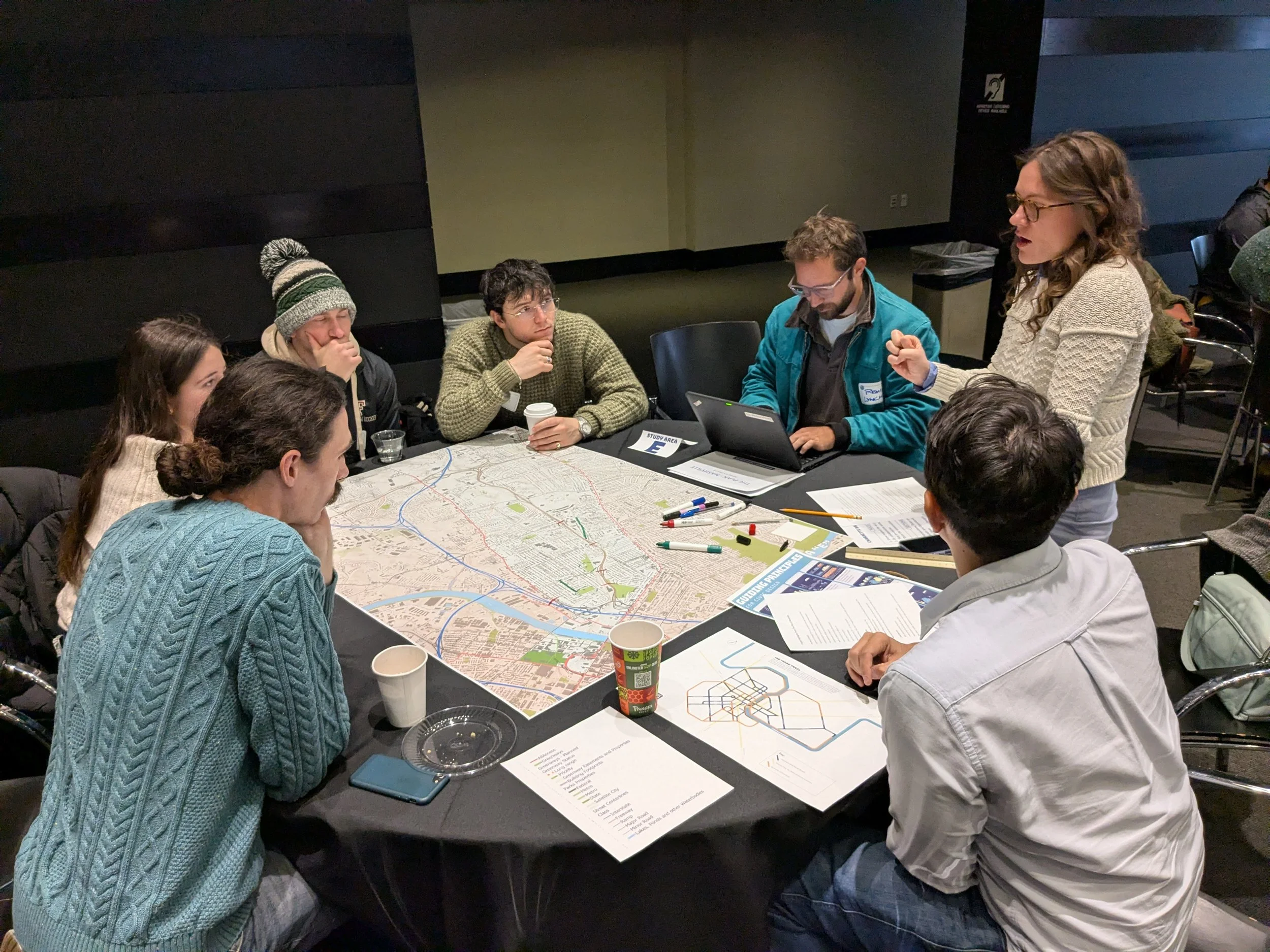
Table Leader: Mary Miller (HDLA); Notetaker: Remi Lynch; Participants: Alex Abels, David Greaves, Valerie Martinezlayla Khalifa, David King, David Trainer
The Study Area “E” design charrette for East Nashville underscored that, despite strong parks and established business hubs, progress over the past 20 years has been limited by highway and rail barriers that fragment neighborhoods and weaken connections between them. Participants identified significant assets and opportunities in river access, the Lischey/Douglas commercial hub, existing transit routes such as the 56 bus, and the potential for denser, more walkable land use near highway interchanges—drawing inspiration from Germantown’s pedestrian-friendly character. Key connectivity challenges include inadequate pedestrian crossings over Ellington Parkway, dividing rail lines, inconsistent bus service, and discontinuous street networks.
Big ideas focused on reorganizing streets, rethinking interstate ramps, bridging the river, and building continuous greenway and linear park systems that stitch neighborhoods together. While many of these ideas have circulated for decades, the charrette emphasized the need to advance them at a neighborhood scale, prioritizing walkability, multimodal connections, and stronger links between East Nashville hubs to create a unified yet distinctly local network of connected communities. Big ideas included major pedestrian connectivity between Dickerson and Gallatin along roadways like Douglas, Trinity, Hart, and Cleveland, as well as new pedestrian bridges over Ellington Parkway.
Study Area “F”: East Nashville
Includes neighborhoods: The District, East Bank, Historic Edgefield, Five Points, Lockeland Springs, Eastwood, South Inglewood, Inglewood, Porter Heights, Rosebank, Madison
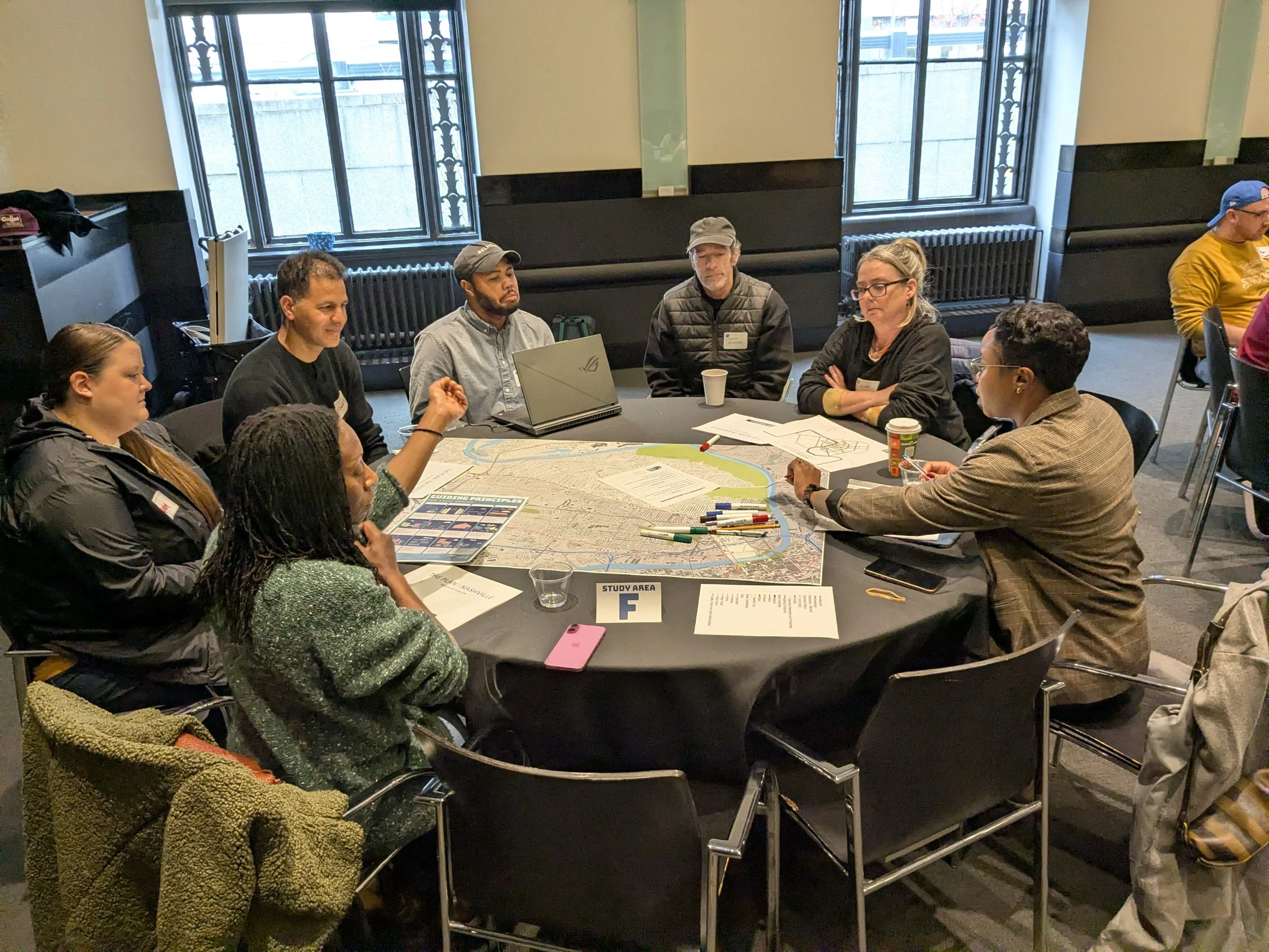
Table Leader: Asia Allen (Gresham Smith); Notetaker: Chase Wilson; Participants: Tonya Lewis, Melisa Davis, Richard Heinsohn, Ashley Athey, Tufik Tahiri
The Study Area “F” design charrette for East Nashville highlighted meaningful progress over the past two decades, particularly the strengthened greenway connections along Shelby Park and the Davidson Greenway, while recognizing that major arterials and river crossings continue to divide neighborhood cores. Participants identified strong assets in the area’s extensive park network, including Shelby Park, Cumberland Park, East Park, and the walkable commercial nodes along Russell and Woodland Streets. Opportunities are enhancing underpasses, bridges, and park edges with art, shade, ecological upgrades, and making clearer wayfinding. Connectivity priorities focused on improving crossings at Gallatin Pike and Woodland Street, strengthening links to the East Bank and Opryland, and reducing car dependence through neighborhood-scale transit such as shuttles, trolleys, or light rail.
Long-term ideas emphasized activating parks to support local commerce, creating pedestrian bridges over busy corridors and across the river, and guiding East Bank development to avoid isolated parking-dominated sites in favor of connected, walkable urban fabric. Overall, the charrette advanced a unified vision of environmentally conscious, interconnected neighborhoods that prioritize park access, pedestrian comfort and safety, ecological resilience, and vibrant local commercial activity. Big ideas included focusing on pedestrianizing Gallatin Pike with wider sidewalks, tree canopy, and crosswalks. Gallatin Pike should get the 12th South treatment, and those conditions should be extended to the bridges to downtown, like the Woodland Street bridge.
Study Area “G”: South East Nashville
Includes neighborhoods: Rolling Mill Hill, The East Bend, Cayce, Shelby Hills, Spence Lane, Clovernook, Donelson Hills, Donelson
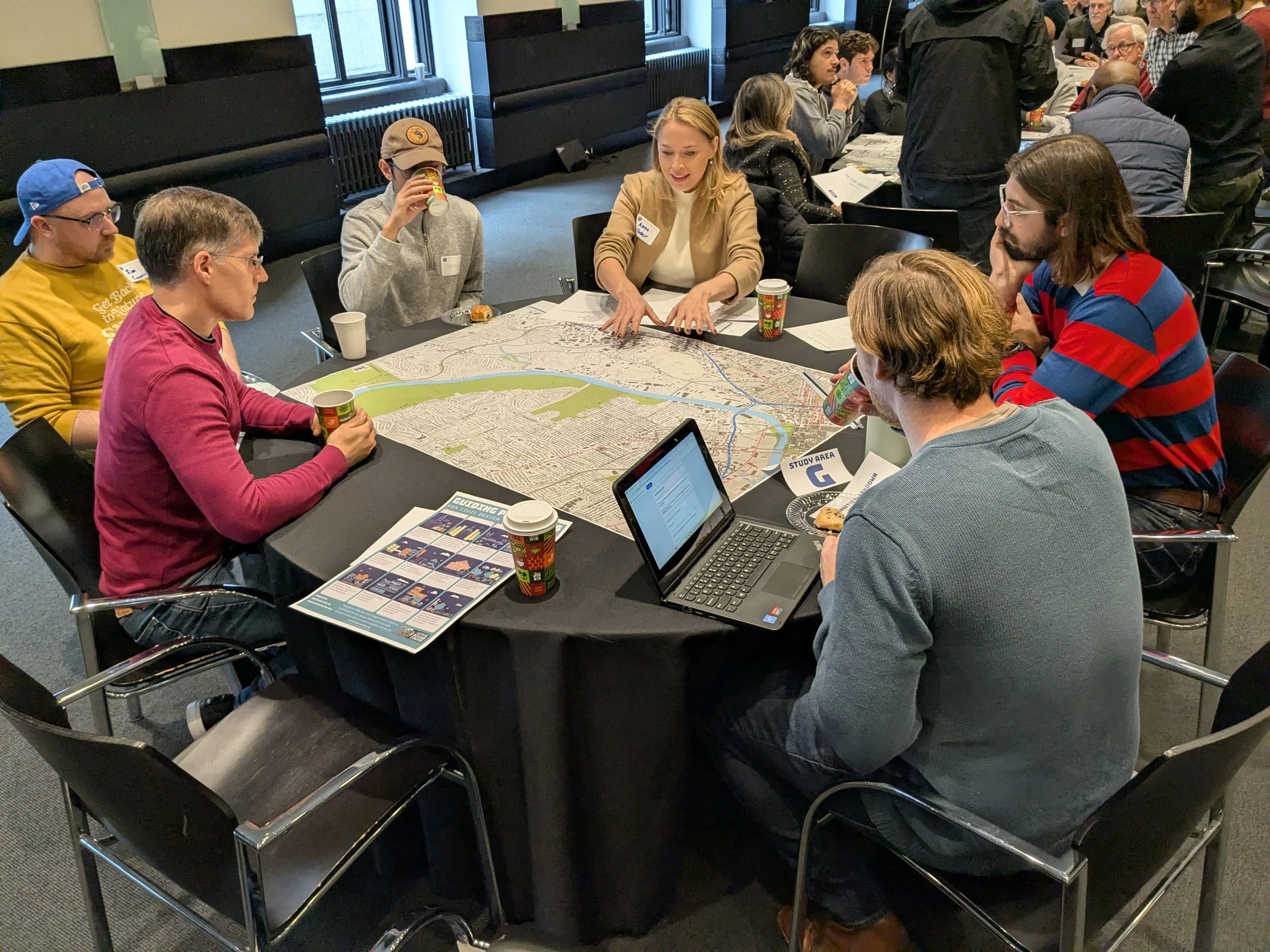
Table Leader: Anna Yoder (HASTINGS); Notetaker: Joe Mayes; Participants: Lazlo Martone, Sean Entrekin, Jim Carpenter, DeAngelo Martinez
The Study Area “G” design charrette for Southeast Nashville identified uneven progress over the past 20 years, with substantial planning and thought north of the river, contrasted by fragmented and uncoordinated growth to the south. Participants highlighted significant assets and opportunities, including proximity to downtown, rail and river infrastructure, Metro Water and publicly owned land, and strong potential for new green spaces and ecological restoration. There was also much discussion about connectivity, both across the river and throughout the district. Connectivity and identity emerged as major challenges, driven by limited sidewalks along Murfreesboro and Lebanon Pikes, barriers created by highways and rail lines, and weak links to the airport and surrounding neighborhoods.
Big ideas focused on leveraging transit and open space to shape future growth—such as establishing rail or light-rail connections between the airport and downtown, adding a new WeGo Star stop near Fesslers Lane, activating the Cumberland and Mill Creek with ferries and greenways, and reusing cemeteries and utility lands as connected open spaces. Overall, the charrette envisioned a more coherent, transit-supported district with new parks, affordable housing on public land, innovation-oriented employment areas, and a continuous riverfront greenway that reconnects Southeast Nashville to the city and to itself. This is one of the few areas in downtown where some industrial use should remain; the industrial use can be better integrated into a mixed-use fabric. This group thought it was important to keep industrial uses in this area.
Study Area “H”: South Nashville
Includes neighborhoods: SoBro, Pie Town, Napier, Chestnut Hill, Wedgewood-Houston, Fairgrounds, Woodbine, Glencliff, 100 Oaks, Radnor
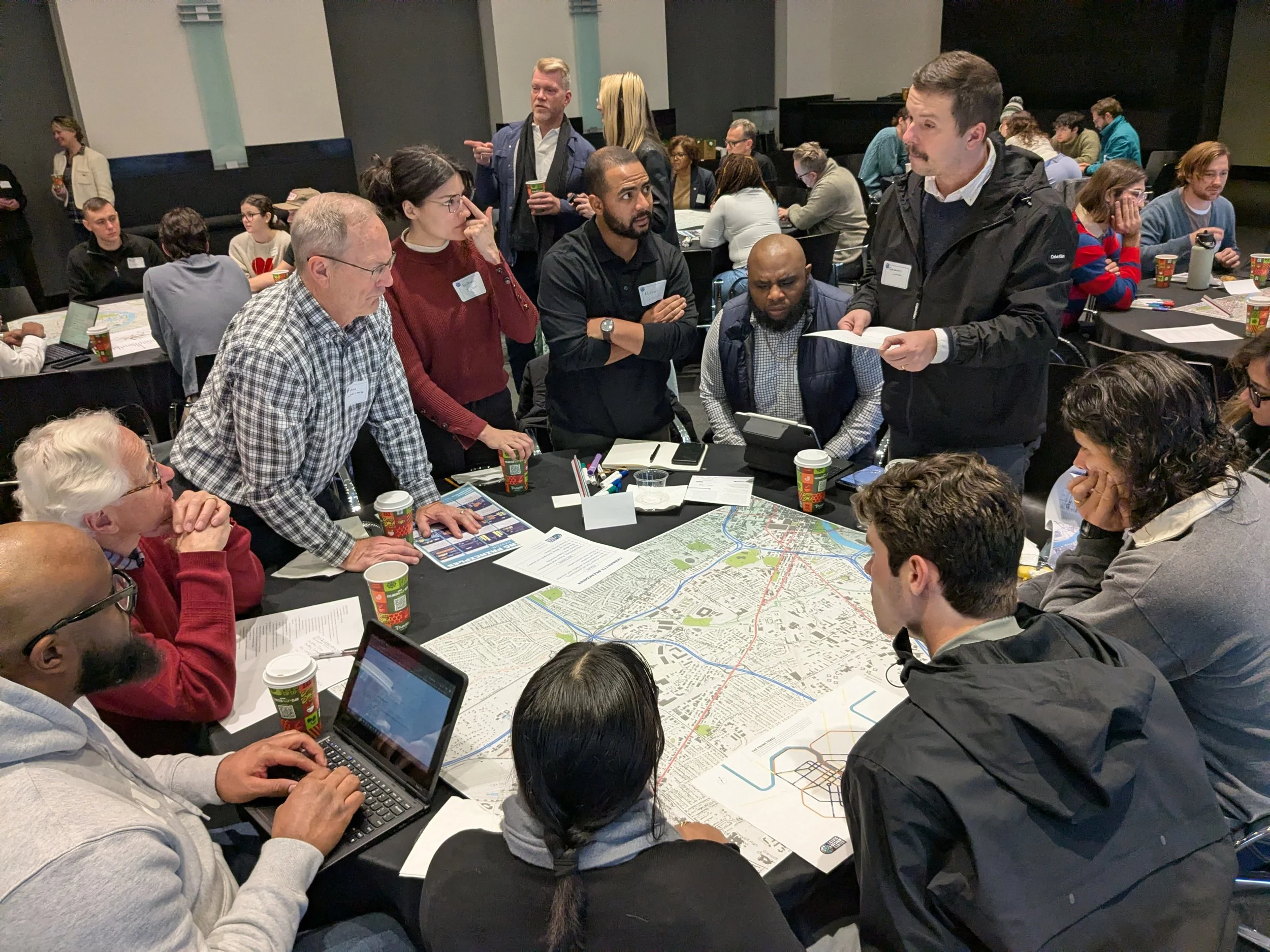
Table Leader: Fernando Lima (Belmont O’More College); Notetaker: Joseph Cole; Participants: Luke Boudreaux, Milton Green, Brittany Tabor, Tom Lowing, Cyril Stewart, Swathi Suvarna, Antone Christianson-Galina, Sabrina Lima, Jeanie Nelson
The Study Area “G” design charrette for South Nashville found that while development has continued to move south from downtown over the past two decades, it has often lacked clear intention or coordination, contributing to displacement pressures on long-established and international communities. Participants identified major assets and opportunities in GEODIS Park and the Fairgrounds, Fort Negley, Berry Hill, Browns Creek and its greenway, and the cultural richness of Nolensville Pike as one of the city’s most diverse corridors. Improving connectivity—particularly direct, legible connections to and along Nolensville Pike, as well as better pedestrian and bicycle access on 8th Avenue and in Wedgewood-Houston—emerged as a priority.
Big ideas focused on organizing infrastructure and investment around clear districts, establishing cultural markers and event-oriented pedestrian spaces, reconnecting cemeteries and neighborhoods across rail lines, and better integrating rail corridors with public transit. The shared long-term vision is for a vibrant, inclusive district where arts, culture, and community thrive around GEODIS Park and a revitalized Nolensville Pike, with growth intentionally guided to enhance walkability, celebrate cultural identity, and support existing residents while building a resilient, people-centered South Nashville.
Study Area “I”: South West Nashville
Includes neighborhoods: The Gulch, Music Row, Edgehill, Belmont, 12 South, Melrose, Battlemont
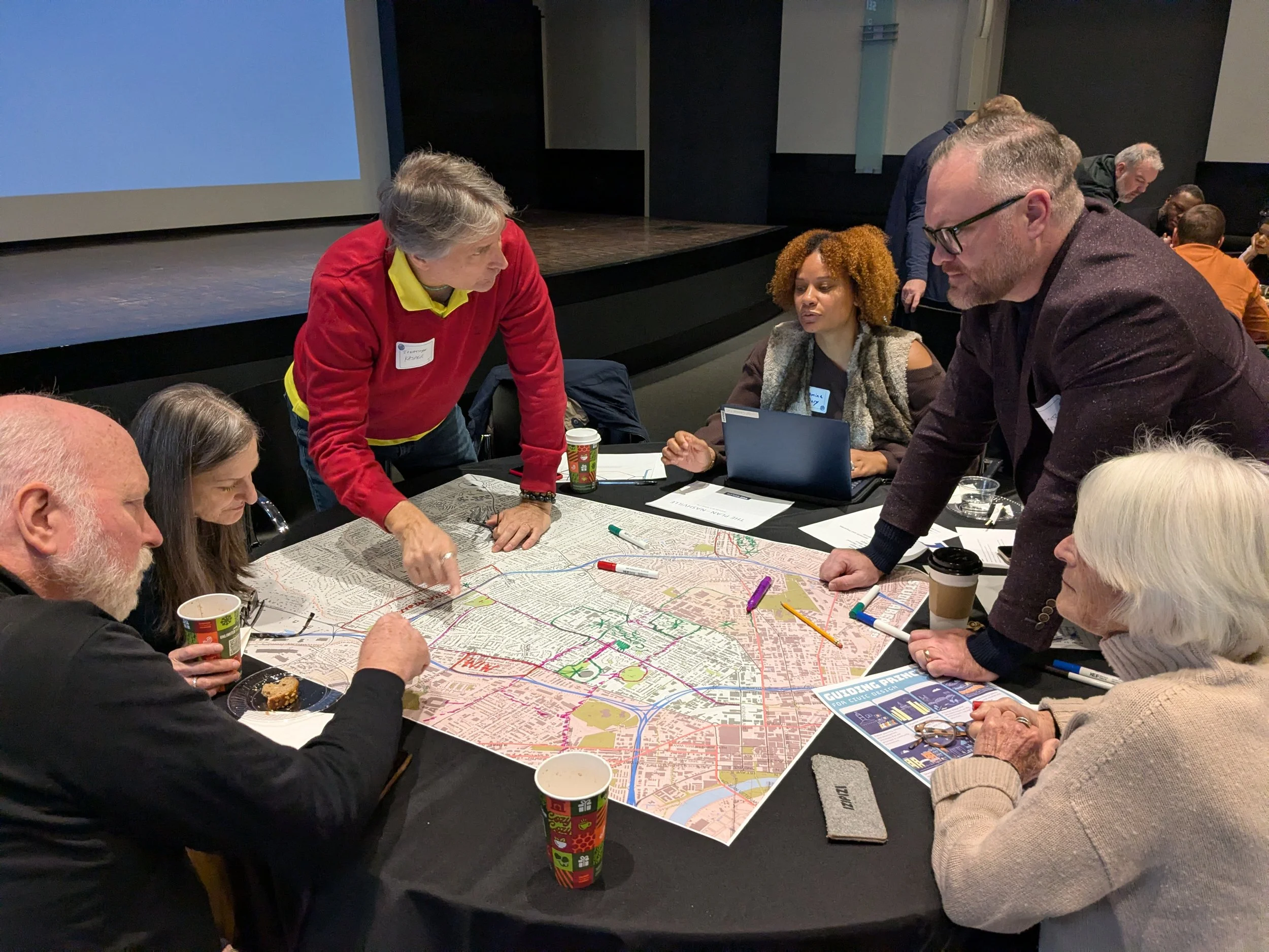
Table Leader: Ben Metz (ESa); Notetaker: Jasmine Dary; Participants: Doug Perkins, Jo Lippe, Jonathan Kasper, Sally Huston
The Study Area “I” design charrette for Southwest Nashville recognized meaningful progress over the past two decades, particularly along corridors like 8th Avenue, which has evolved into a vibrant, walkable destination with strong local activity, while also highlighting the resulting need to better manage traffic and growth. Participants identified a rich collection of assets—including Reservoir Park, Sevier Park, Fort Negley, Browns Creek, major universities, historic landmarks such as the Battle of Nashville Monument, and established neighborhood parks and libraries—along with opportunities to preserve better and elevate these historic and cultural resources. Connectivity emerged as the central theme, with a shared desire to link universities, neighborhoods, and parks through walkable and transit-supported corridors, especially along 12th South and between WeHo, Chestnut Hill, the Gulch, and GEODIS Park. Key challenges include improving housing and transit access near parks and institutions and extending connections beyond sidewalks through greenways and car-free park linkages. 12th and 8th Avenues can function as community zippers that help to connect pedestrians throughout the neighborhood and in other sections, they serve as a barrier.
The long-term vision centers on strengthening Reservoir Park as a civic destination and using it, along with enhanced greenway and street connections, to unify Southwest Nashville’s successful pockets of livability—advancing a mission of connection, walkability, and preservation that honors history while building a more cohesive and people-centered urban fabric. Big ideas included creating a monumental connecting staircase from 8th up to the reservoir that could include an amphitheater or other large civic space. Reservoir Park is elevated and separated by a wall from the street. This group wanted to cap the reservoir itself and install sports courts, an ice skating rink, a skate park, etc., so that the architecture is more usable for the community.
Study Area “J”: West Nashville
Includes neighborhoods: The Yards, Midtown, Vanderbilt, Hillsboro West End, Sylvan Park, Cherokee Park, White Bridge
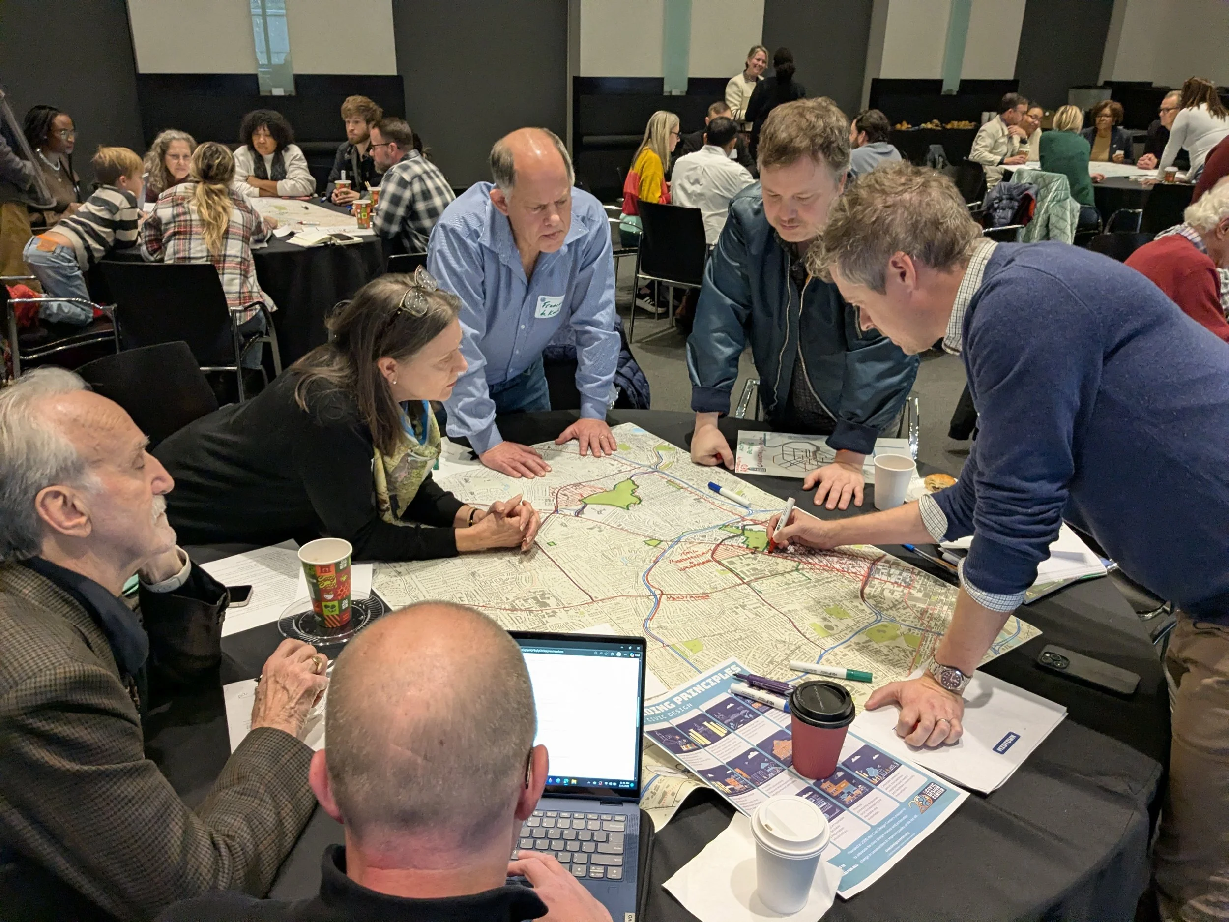
Table Leader: James Moore (Vanderbilt University); Notetaker: Matthew Gulsvig; Participants: Kevin Warner, Miriam Mimms, Francois De Kock, Adam Nicholson
The Study Area “J” design charrette for West Nashville concluded that, despite its central location and strong institutions, the area has underutilized its capacity for growth over the past 20 years, with major corridors and pikes falling short of their potential to support greater density and connectivity. Participants identified significant opportunities to add housing and population while reducing car dependence by strengthening greenways as primary connectors, filling gaps in sidewalks—particularly farther west—and creating new green spaces or depaved corridors between Centennial Park and downtown. Key issues to address include improving public and private transit, reinforcing a sense of place and belonging through livability assets, and ensuring safe, walkable, and bike-friendly access to daily needs where infrastructure can support added density.
Looking ahead, the group articulated a bold vision of a people-first district with less need for cars inside the interstate loop, transit-oriented mixed-income housing, and the transformation of major roads and barriers such as I-440 into greenways for walking, cycling, and mass transit. Overall, the charrette reinforced that long-standing ideas remain valid, but require sustained investment in greenway connectivity and a decisive shift away from vehicle reliance to achieve civic monumentality, multimodal access, and flexible, gentle density across West Nashville. Big ideas for this group included more Midtown parks and pedestrian/bike infrastructure, especially traveling east/west.
Charrette Data
Based on the full charrette notes, the top recurring themes across all study areas, in order of prominence, are:
Connectivity and Multimodal Transit 🚲 – Emphasis on pedestrian bridges, greenways, bike lanes, and improved public transit to connect neighborhoods, major corridors, parks, and commercial areas. Bridges, overpasses, and street realignment were specifically mentioned at least 12 times across multiple study areas. Mentions of multimodal transit, trolley/bus, light rail, and bike connectivity appeared in 40+ instances.
Walkability and Pedestrian Safety 🚶🏻♀️– Strengthening sidewalks, crossings, and pedestrian-friendly streets throughout neighborhoods, especially near schools, commercial hubs, and parks.
Green Space, Parks, and Ecological Upgrades 🌳 – Expanding parks, linear greenways, ecological improvements, tree planting, pollinator gardens, and recreational access along rivers and underutilized land. Edible landscapes, and cooling/shade elements were raised multiple times in East Nashville.
Housing and Density 🏢 – Adding mixed-use, mixed-income, and intergenerational housing, redeveloping public housing, and encouraging density where infrastructure supports it.
Neighborhood Identity and Cultural Preservation 🌎 – Preserving historic communities, cultural corridors, and landmarks; celebrating arts, heritage, and community identity. Examples include Jefferson Street history, Nolensville Pike culture corridor, Fort Negley, and historic schools.
Street and Infrastructure Reorganization 🛣 – Realigning streets, removing or decking highways, reducing car dependency, and creating multimodal corridors and “community zippers.”
Commercial Activation and Local Business Support 🫱🏾🫲🏻– Strengthening neighborhood commercial cores, improving wayfinding, and linking local business districts to parks and greenways. Specific commercial corridors or hubs mentioned in 20+ instances (Gallatin Pike, 8th Ave, Russell/Woodland).
Waterfront and Riverfront Activation ⛴ – Enhancing river access, integrating recreational opportunities, ferries, and activating areas like Fountain Lake, Mill Creek, and the Cumberland River.
Education and Institutional Connectivity 🎓 – Linking universities, schools, and community centers through streets, greenways, and public spaces to improve access and civic engagement.
Comparing Big Themes
These themes collectively reflect the charrette’s focus on creating more connected, walkable, ecologically sustainable, culturally vibrant, and socially equitable neighborhoods across Nashville.
Recurring Big Ideas
Pedestrian Bridges & Crossings: Mentioned in multiple areas (B, C, D, F, E). This shows a strong focus on overcoming barriers (highways, rivers, railroads).
Mixed-Income Housing / Redevelopment: B, C, D, J all stressed intergenerational or mixed-use housing as a priority.
Greenways / Linear Parks: Almost all areas, especially A, B, C, F, and I.
Geographic Patterns
East Nashville (E & F): Focus on ecological upgrades, park activation, and pedestrian connectivity.
North Nashville (A, B, C, D): Focus on connectivity between historic neighborhoods, revitalizing corridors, and intergenerational development.
South Nashville (G, I): Focus on integrating new development, walkability, cultural identity, and connectivity to major roads/arteries.
West Nashville (J): Focus on density, reducing car dependence, and creating greenways.
Infrastructure Priorities
Highway mitigation / rethinking car-heavy streets came up 10+ times (A, B, D, E, J).
Community & Civic Engagement
Advocacy, holistic planning, and online/community engagement were mentioned in all study areas.
Suggests participants value local involvement in shaping growth and keeping plans actionable.
Long-Term Big Ideas
Some aspirational ideas were repeated across areas:
“Deck the highway” (A, B)
Mixed-use redevelopment along transit corridors (B, C, J)
Greenway networks connecting parks, neighborhoods, and rivers (A, B, C, F, I)
Riverfront activation and pedestrian bridges (D, E, F, G)
The insights gathered from our “Continuing the Vision” design charrette provide a snapshot of Nashville’s current assets, challenges, and opportunities across all study areas. By identifying key parks, cultural landmarks, commercial hubs, connectivity hotspots, and areas ripe for ecological and pedestrian improvements, the Civic Design Center can use this framework to guide its work over the next 30 years. These findings reinforce the importance of fostering neighborhood identity, enhancing multimodal connectivity, and prioritizing environmentally conscious and equitable development.
As we continue to implement The Plan of Nashville’s 50-year vision, this synthesis of community input and spatial mapping will allow the Civic Design Center to strategically target interventions, advance public engagement, and lead projects that unify neighborhoods while preserving their unique character, ensuring that the city grows more vibrant, connected, and resilient for all Nashvillians.